Faroe Islands’ most instagrammable places
The Faroe islands are a group of islands consisting of eighteen major islands (and a total of 779 islands, islets, and skerries), which is located in the Atlantic Ocean about half way between Iceland and Norway,
In addition to a rich history consisting of various legends and Viking references, the Faroe islands are also known for their magical landscapes. In fact, several hikers and landscape photographers prefer a visit to the Faroe Islands over a trip to Iceland, just because it is rather undiscovered and untouched by international tourists.
Faroe Islands’ most instagrammable places
Before visiting the Faroe Islands, we advise you to research the islands and the spots you want to visit so you can experience as many gorgeous spots as possible. We’ve listed our favorite spots, and added in some background info while we’re at it.
Streymoy (Strømø)
Streymoy – which stands for “island of currents” – is the largest and most populated island of the Faroe Islands. Tórshavn, the capital of the Faroe Islands is located on its southeast coast.
Saksun, Streymoy
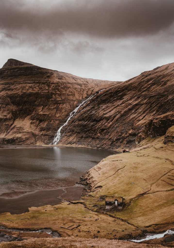
Saksun is a village which lies at the bottom of what used to be an indentation of a shoreline, and is surrounded by mountains. This inlet initially formed a good deep natural harbour, but a storm blocked it with sand making it a seawater lagoon which is only accessible by small boats during high tide.
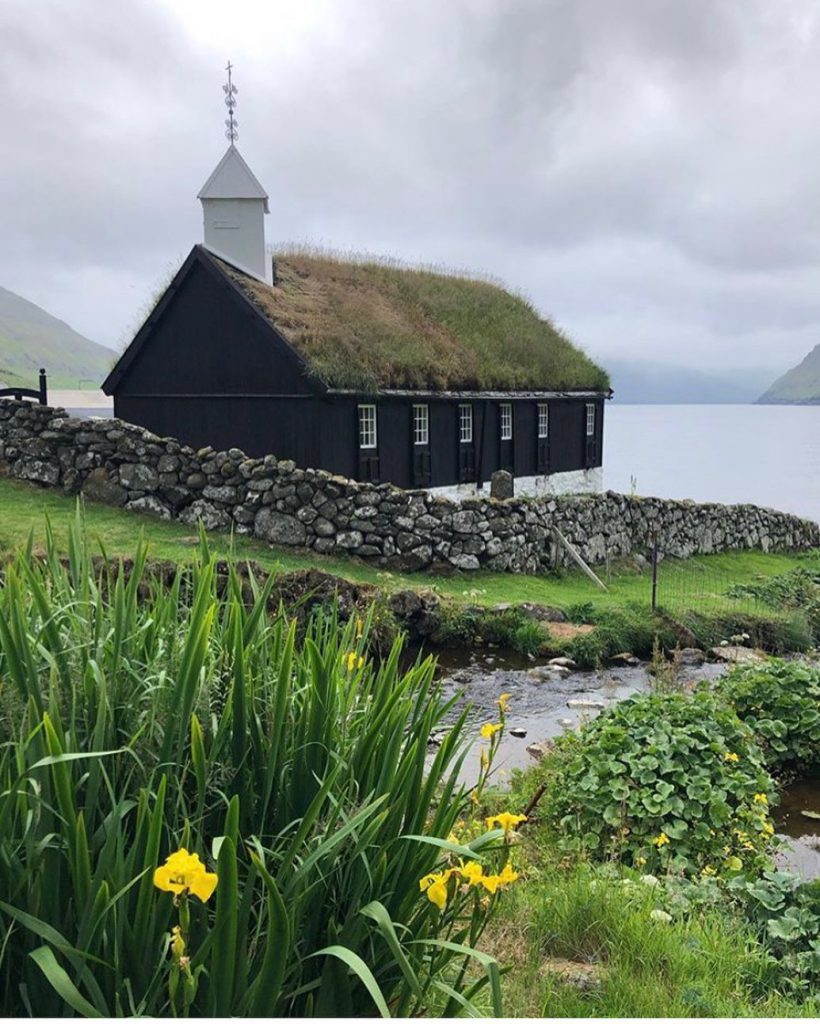
In the city, you’ll find a church which was originally built in Tjørnuvík, but was disassembled in 1858 and carried over the mountains to be reassembled in Saksun.
The village is a popular hotspot for tourists, because of the traditional houses with grass on the roof and the stunning views. Unfortunately the town is starting to suffer from the exploitation of the tourism industry.
Fossá Waterfall, Streymoy
Located near the village of Haldarsvík, Fossurin í Fossá “river with waterfalls” is one of the highest waterfalls and one of the biggest attractions on Streymoy Island.
The waterfall cascades 140 meters down to the sea over two different stages, which are easily accessible.

©️ Instagram – @flotodiary 
©️ Instagram – @sasha_gnatyk
Kirkjubøargarður, Streymoy
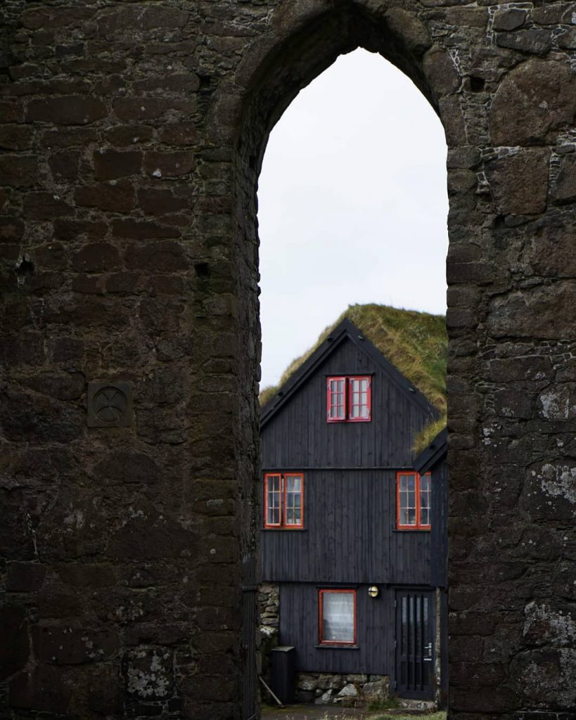
The Kirkjubøargarður is one of the oldest still inhabited wooden houses in the world (if not the oldest), and is located in the city of Kirkjubøur.
The farmhouse dates back to the 11th century, and according to the legend the wood for the block houses came as driftwood from Norway and was accurately bundled and numbered, just for being set up.
It’s not uncommon to find legends about wood in the Faroese history, since there isn’t any forest in the Faroes, with the only exception of a wood in northern Tórshavn, making wood a very valuable material.
©️ Instagram – @elise.nygard 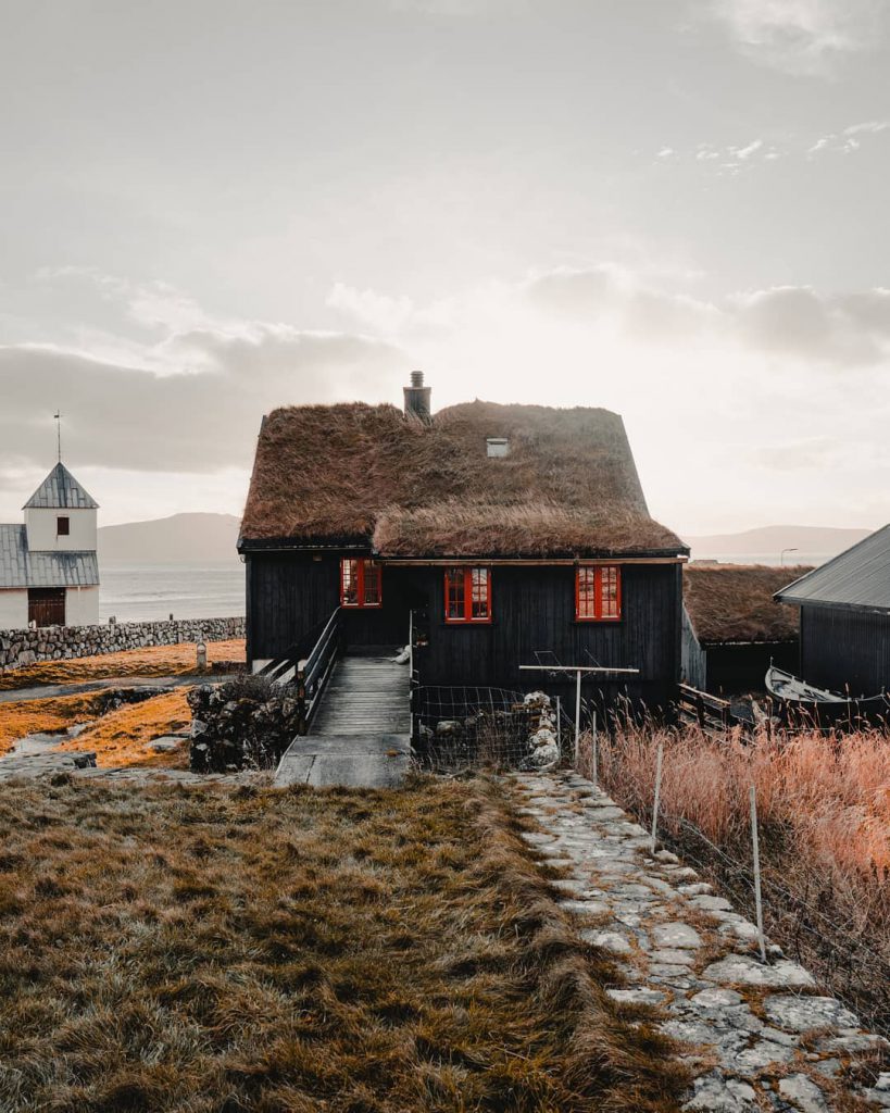
©️ Instagram – @charlyroadmolko
Tjornuvik, Streymoy
The northernmost village on Streymoy island is Tjørnuvík, which is nestled in a valley with no other villages in sight.
This village has a direct view of the Risin & Kellingin sea stacks, which is considered to be a must-see spot when visiting the Faroe Islands. This makes Tjørnuvík one of the most frequently visited villages in the Faroe Islands.
In 1956, a grave containing twelve ancient skeletons dating back to the Viking age were discovered near the beach on the slope of the hill. The grave – which was located 50 cm below the ground surface – was surrounded by a boat-shaped stone form.
Next to its historical past, the village also has a beach which is the most popular surfing spot in the Faroe Islands.

©️ Instagram – @gingerguide 
©️ Instagram – @dom_reardon_photo
Tórshavn, Streymoy
Tórshavn is the capital city of the Faroe Islands, located in the southern part on the east coast of Streymoy and surrounded by two mountains (Húsareyn and Kirkjubøreyn) and the Sandá River. Its 20,000 inhabitants make it the largest city of the archipelago.
Situated in the city’s harbor, Tinganes is considered to be it’s most instagrammable place by its colorful grass-roofed houses.

Vágar (Vågø)
Another impressive Island is Vágar. With its 178 square kilometres of land, it ranks as the third biggest island of the Faroe Islands – just behind the Streymoy and Eysturoy islands.
On the island of Vágar you’ll be able to find the only airport in the Faroe Islands, which is located 2 kilometers of the village of Sørvágur. The airport has connections to and from Copenhagen, Edinburgh, Paris – Charles de Gaulle, Reykjavík – Keflavík and others.
Keep in mind that entry may not be as simple as you think: Due to the Faroe Islands’ status as a self-governing territory, the airport is not subject to the rules of the European Union.
Gasadalur and the Múlafossur Waterfall, Vágar
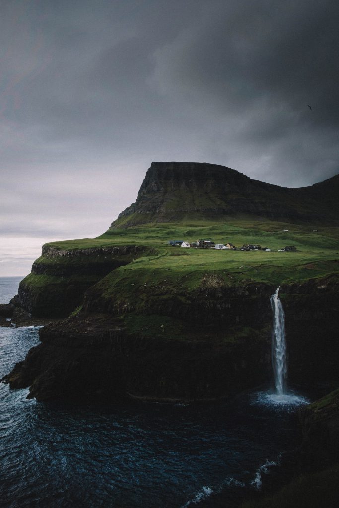
Located only 15 minutes from the airport, you’ll find the village Gásadalur, which sits at the edge of a tall cliff overlooking the sea and gives an amazing panoramic view over to the island of Mykines.
The village has only 20 inhabitants and is surrounded by the highest mountains on Vágar Island: the Árnafjall mountain to the north, and Eysturtindur to the east.
Not so far from the picturesque village of Gásadalur, only a 5 minutes walk, you’ll find the Múlafossur Waterfall.
Sørvágsvatn, Vágar
Another iconic place in Vágar is Sørvágsvatn. It’s the largest lake in the Faroe Islands (3.4 square KM), situated between the municipalities of Sørvágur and Vágar.
The lake is situated very close to the ocean with a height difference of 40 metres, creating a cliff which prevents the lake from emptying fully into the ocean. The waterfall Bøsdalafossur is the lake’s outlet into the ocean.
This astonishing view appears to be floating above the ocean, making it the most instagrammable place in the Faroe Islands.
Tindhólmur and Dranganir, Vágar
Both Tindhólmur and Drangarnir are two of the most famous islets formations on the southside of the Sørvágsfjørður fjord.
The Tindhólmur islet is 650,000 square metres (0.65 square KM) and gets its name from its five peaks, which are named Ytsti, Arni, Lítli, Breiði, Bogni (Farthest, Eagle, Small, Broad, Bent).
The Drangarnir islet is a collective name for two sea stacks between the Tindhólmur islet and the Vágar island. The individual names of these sea stacks are Stóri Drangur and Lítli Drangur.

©️ Instagram – @gauihpicofficial 
©️ Instagram – @arthur.gergardt 
©️ Instagram – @chrisroams 
©️ Instagram – @pengzhou_chen
Eysturoy (Østerø)
Eysturoy is the second largest of the Faroe Islands, both in size and population. The Eysturoy island is separated by a narrow sound from the main island of Streymoy, and has a bridge (‘Streymin Bridge’) which they refer to as being the only bridge over the Atlantic Ocean.
Gjogv, Eysturoy
Gjógv is a charming village named after a 200-metre (650 ft) long sea-filled gorge that runs north to the sea from the village and is located on the northeast tip of the island of Eysturoy.
Due to this gorge, the harbour of Gjógv is a well-known site of outstanding natural scenery to tourists, photographers and natives.
Back in 2005, the Danish crown prince Frederik and Crown Princess Mary visited Gjógv. In preparation of their visit, the inhabitants had the idea of placing a bench with a magnificent view along the gorge towards the sea. The bench was baptised ‘Mary’s bench’ and the Crown Princess subsequently became the first to be seated on it.
Funningur, Eysturoy
Funningur is a village nestled in a deep valley on the Eysturoy island, sitting at the foot of Slættaratindur mountain.
According to legends, Funningur is the place where the first vikings settled on the Faroe Islands – making it the oldest village of the Faroe Islands.
The name of this viking was Grímur Kamban, a Norwegian escaping the tyranny of the Norse king Haraldur Hárfagri. However, evidence has later shown that cannot be the entire truth since there is an entire century between this event and the birth of king Haraldur Hárfagri.
©️ Instagram – @micheizzo 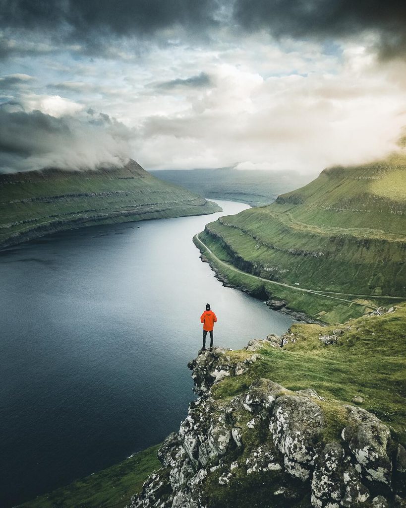
©️ Instagram – @manueldietrichphotography 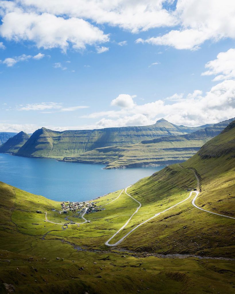
©️ Instagram – @nicolasjaegergaard
Slættaratindur, Eysturoy
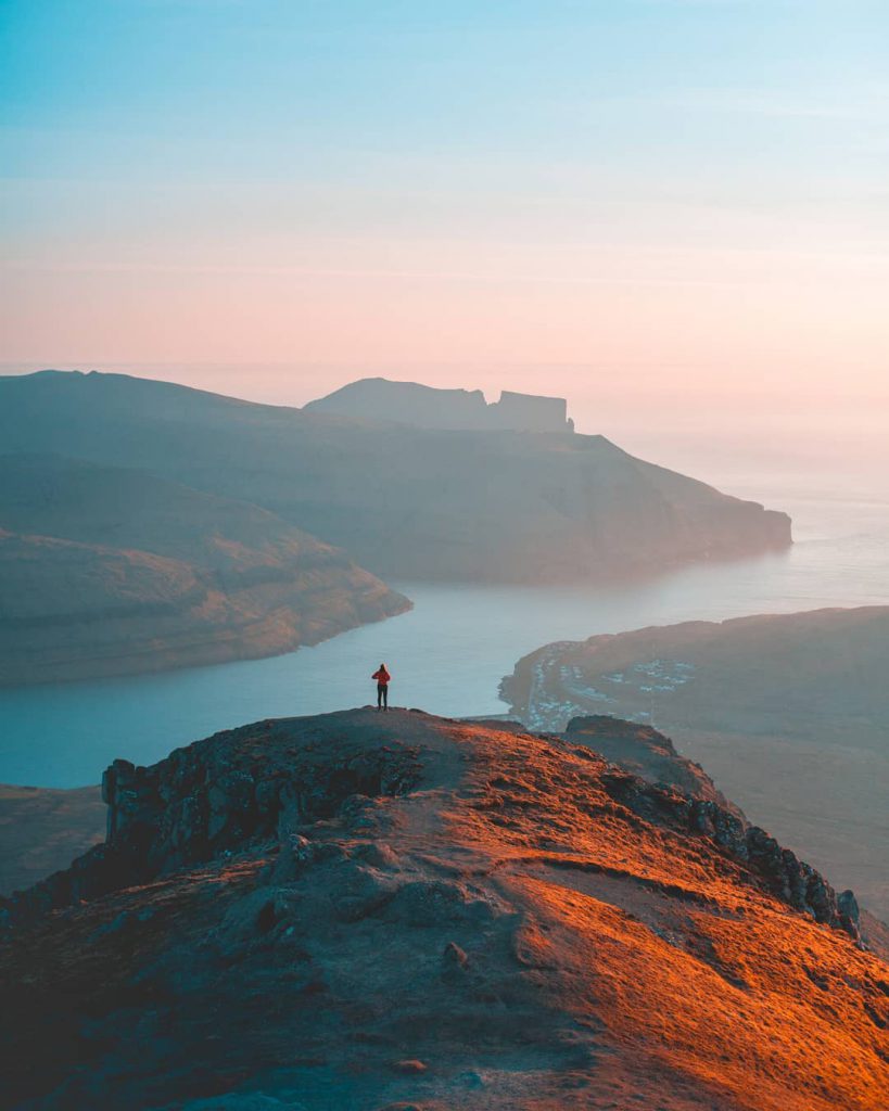
Slættaratindur is the highest mountain in the Faroe Islands, which means “flat summit” and has an elevation of 880 metres. It’s located in the northern part of Eysturoy, between the villages of Gjógv, and Funningur.
On a clear day, all 18 islands of the Faroe Islands can be viewed from the top – some claim that even Iceland’s Vatnajökull mountain can be seen as well!
On June 21 – which is the longest day of the year – the tradition for both locals and tourists is to climb Slættaratindur, because at the top of the mountain, people can experience the midnight sun. This is the phenomenon when the sun sets and then a few hours later rises again.
Elduvik, Eysturoy
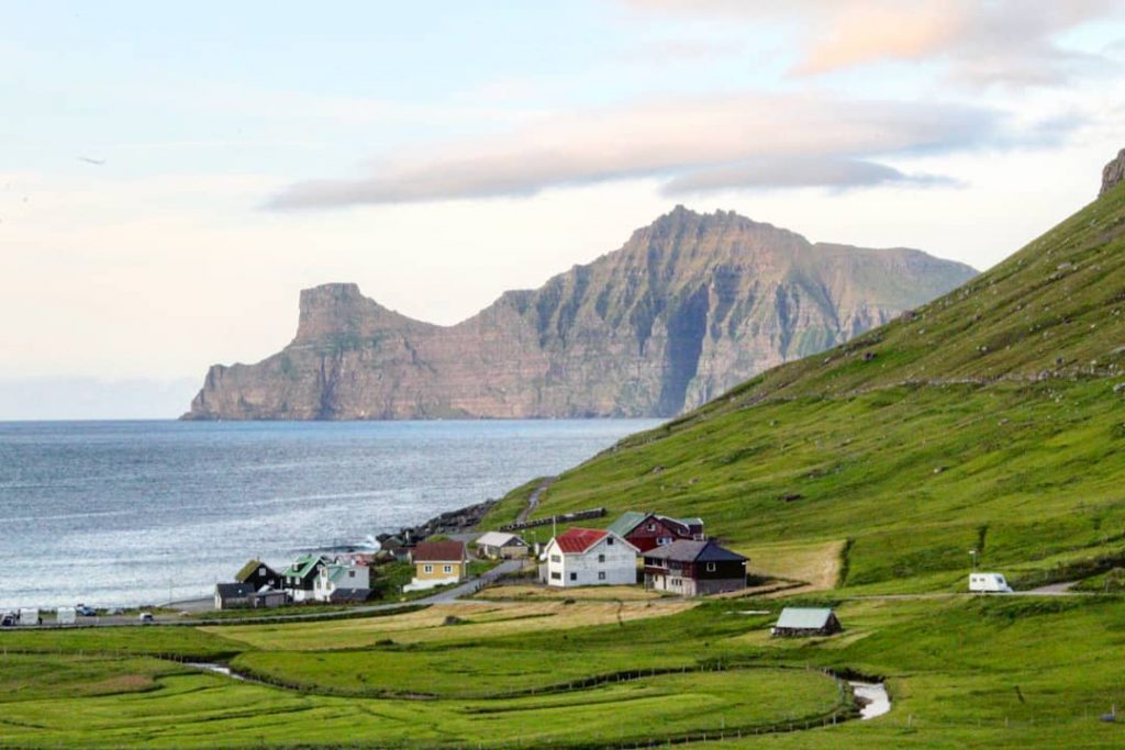
Another popular spot is Elduvík, a city located next to the Funningsfjørður-inlet on Eysturoy’s northeast side. The village, which has a population of just 23 inhabitants, is split into two parts by a small river.
The city is linked to the legend of Marmennil, in which a fishermen from Elduvík called Anfinnur encountered a merman called Marmennil.
According to this legend, the Marmennil has the appearance of a small human with long fingers which lives at the bottom of the sea. The Marmennil would tease fishermen Anfinnur by eating their bait and then attaching their hooks to the sea bed so that they would break their fishing lines. One day, however, the Marmennil got stuck on the hook and he was pulled up into Anfinnur’s boat. The fishermen in the boat made the sign of the cross, and then brought Marmennil home with them.
The Marmennil proved to be very useful on their fishing trips, in which Anfinnur always remembered to make the sign of the cross when the Marmennil was taken back on board.
The duo worked together for a long time, but one day the sea was so rough that Anfinnur forgot to make the sign of the cross. Because of this the Marmennil snuck overboard into the sea and was never seen again.
©️ Instagram – @rutapara2 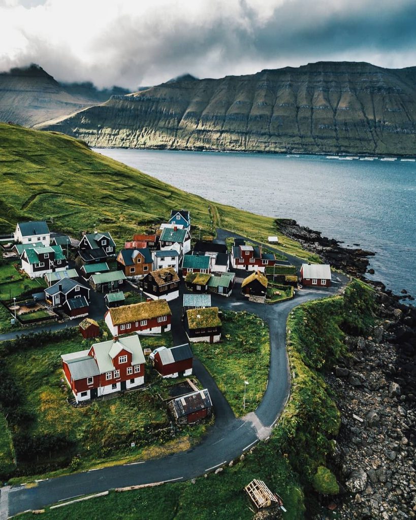
©️ Instagram – @visitfaroeislands
Suduroy (Suderø)
Suduroy is the southernmost of the Faroe Islands, covering 163.7 square kilometres (63.2 sq mi). In 2017 there were 4,607 inhabitants on the entire island, but there has been a gradual decline in the population numbers since the 1950s.
Sumba, Suduroy
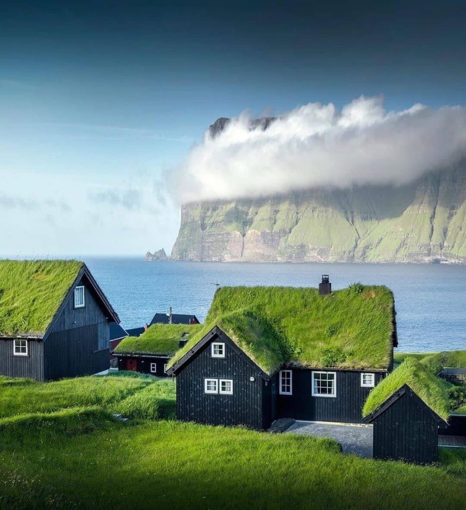
Sumba is the southernmost village located on the island of Suðuroy, and is said to be one of the oldest villages in the Faroe Islands.
The city is located behind high mountains, which made it difficult to reach in wintertime when the storms raged, but recently they built a tunnel which makes transport much easier.
The village is by the sea, which creates a beautiful background setting for photographers. The most popular spot for pictures is the bird cliff Beinisvord.
Akraberg Lighthouse, Suduroy
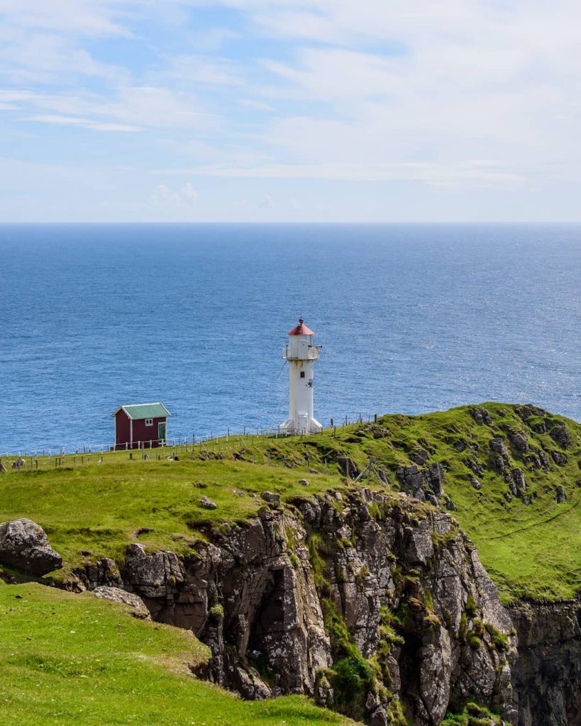
The Akraberg lighthouse stands on the southern tip of Suduroy, 5 km south from the village Sumba. It was built in 1909, and consists of a white cylindrical tower with red lantern roof.
During World War II, the Akraberg lighthouse and radio were serviced by technical Royal Air Force soldiers, working on one of the first radar stations which scanned the water and air south of the Faroe Islands.
Sandvík, Suduroy
Sandvík is the northernmost village of the island of Suduroy, and is situated on the northern side of a shallow fjord.
The village Sandvik (“Sandy Bay”) was originally known as Hvalvík (“Bay of Whales”), but had to change its name in 1913 as there was another village named Hvalvík on Streymoy Island.
Sandvík is also the resting place for Sigmundur Brestisson, the Viking chief who was responsible for introducing christianity to the Faroe Islands. Sigmundur was murdered and decapitated by a local farmer for his golden bracelets, after Brestisson swam from Skúvoy Island to Sandvík in an attempt to flee rival Viking chief Tróndur í Gøtu. In 2006, the village created a monument to remember Sigmundur.
The charming village of Sandík is also known by the sea with turquoise waters surrounding it make this place absolutely breathtaking.

©️ Instagram – @sunianth 
©️ Instagram – @miss_anastasia_u
Kalsoy (Kalsø)
Kalsoy is an island in the north-east of the Faroe Islands between Eysturoy and Kunoy, most known as a filming location for the 25th James Bond movie “No Time to Die“.
Kalsoy is also known because of it’s Selkie legends, in which a young farmer from the town of Mikladalur on Kalsoy Island went to the beach to watch the selkies, a mythological being capable of changing from seal to human form by shedding their skin, dance.
According to the legend, the farmer hid the skin of a beautiful selkie maid so she could not go back to sea and forced her to marry him. He kept her skin in a chest, but lost his key one day. When he returned home, his selkie wife had escaped back to sea, leaving their children behind.
Later, when the farmer was out on a hunt, he killed both her selkie husband and two selkie sons, and she promised to take revenge upon the men of Mikladalur: “Some shall be drowned, some shall fall from cliffs and slopes, and this shall continue until so many men have been lost that they will be able to link arms around the whole island of Kalsoy”.
Occasional deaths still occur in this way on the island, which makes that this legend has always been taken seriously over the entire Faroe Islands.
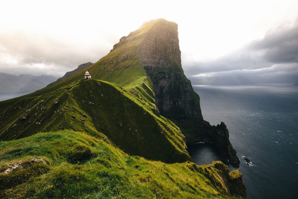
Kallur Lighthouse, Kalsoy
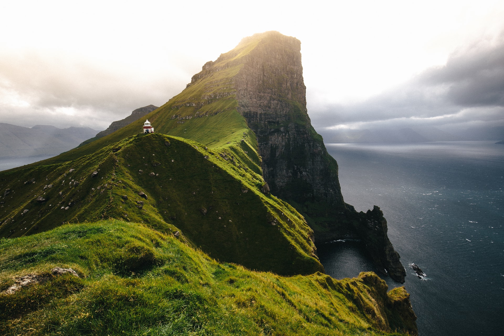
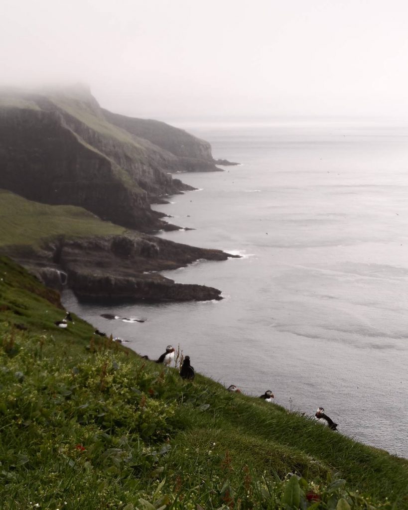
The Kallur Lighthouse is the Island’s most popular spot, which gives you a view of an important bird area which is known as a breeding site for Atlantic puffins, European storm petrels and black guillemots.
Mykines (Myggenæs)
Mykines village is a small coastal village and is the only community on Mykines Island. The island is located at the westernmost of the Faroe Islands.
Mykines Lighthouse, Mykines
To the west of Mykines is the one km long islet called Mykineshólmur, which is surrounded by several sea stacks clustered at its western end, where a lighthouse was built in 1909. A 40m-long footbridge connects this islet end with the Mykines Island.
©️ Instagram – @alexandra_halousek 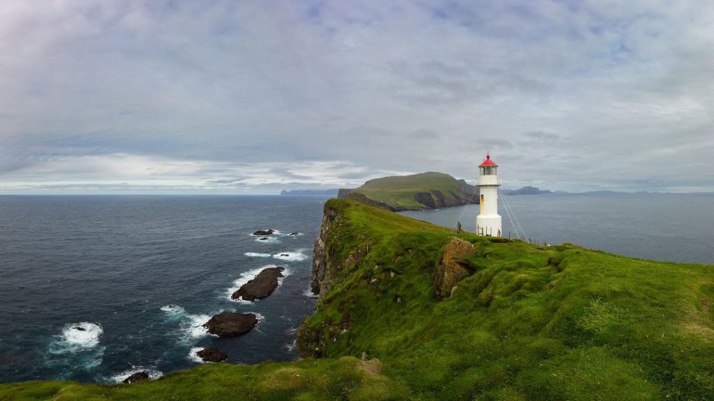
©️ Instagram – @zdenekkounovsky
Faroe Islands is one of the most instagrammable places on Earth
The Faroe Islands have so many stunning sights, so keep your eyes wide open and go explore this fantastic island!

